GeoWorks, the geospatial industry centre first set up by the Singapore Land Authority (SLA) in 2018, aims to bring together geospatial businesses, sectoral users, research institutions and government organisations to foster a vibrant geospatial ecosystem. With that goal in mind, GeoWorks is always on the lookout for new partners to collaborate on the use of geospatial technology and information.
Firma Technologies is one such partner – an AI-based infrastructure management company that aims to develop safe and efficient digital solutions with new technologies. We speak to Mr Benjamin Wong, the Key Account Manager of Firma Technologies, to find out more about how geospatial technology is a key component in helping the organisation to deliver its promises to clients, as well as what the experience has been like as the latest addition to the GeoWorks family.

1) Tell us more about Firma Technologies.
Firma Technologies aspires to be a global leader in AI-based analytics, and aims to solve highly complex and large-scale engineering problems in the infrastructure asset sector.
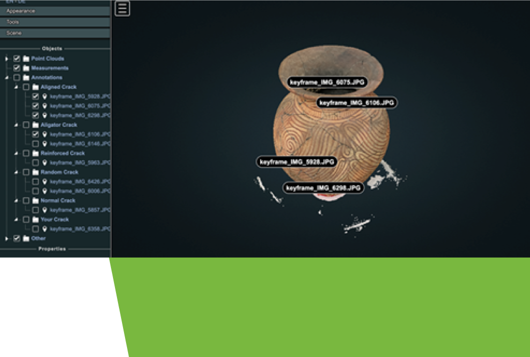
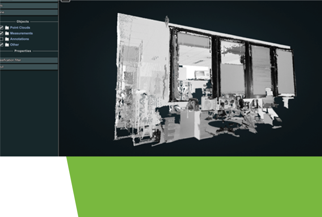
We currently have two main solutions - one is a platform which allows users to host and share their 3D models, while the other is our AI service which we built to detect and assess defects on infrastructure assets using imagery datasets.

2) What are some challenges you have faced in your work?
Many projects in the industry are typically long-term and require heavy logistic commitments, which is a challenge for a young company.
However, the largest challenge for us is that many engineering firms are still not fully comfortable or confident leveraging on AI and/or geospatial solutions. We usually have to spend a fair bit of time educating these clients on the potential of these solutions – sometimes without much success! Even as a young company, we do our best to navigate client expectations and coordinate with our partners to be able to fulfil our contracts.

3) How has your experience with GeoWorks been?
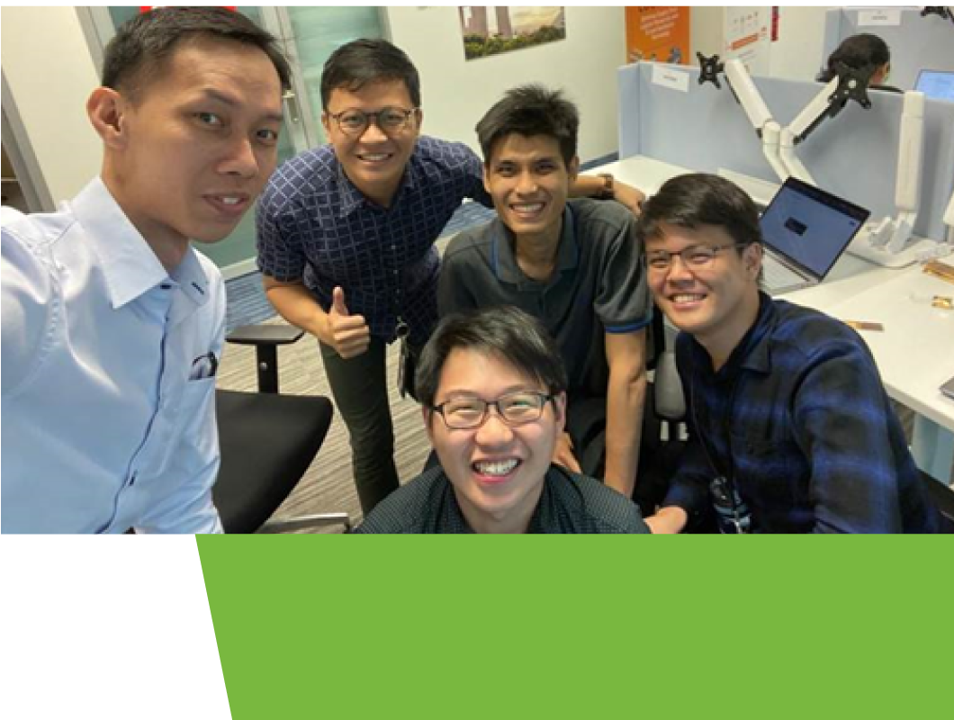
Although we have only been here for three months, we have truly enjoyed being part of the GeoWorks family! The atmosphere here is great, and we are always grateful for the many opportunities to showcase our work. At the same time, it is exciting to think about how we can potentially collaborate with the other GeoTechs at GeoWorks – it really feels like being part of a larger geospatial ecosystem.
4) How does geospatial technology help you in your work?
When it comes to our solutions, detecting defects is just one part of the challenge. We use camera sensors, radar, GPS, satellite data and other software to constantly improve the accuracy of mapping defects. Geospatial technology is crucial in helping us trace and map these defects back to their specific locations accurately.
5) Are there any challenges that come with working with geospatial technology?
Definitely. Mapping defects can be challenging at times – for example, trying to pinpoint a crack in a wall in a big building is no mean feat! We need extremely accurate coordinates to ensure maximum operational efficiency, and we are often constrained by technological limitations.
To achieve this, we need to juggle multiple technologies together with our geospatial capabilities.
6) In your opinion, what skills are needed to work in the geospatial industry?
Apart from having to be familiar with certain software and other related technologies, there is always room for creativity on our team – sometimes, we need to think out of the box to solve problems.

7) Do you have any advice for aspiring entrepreneurs?
Always be ready to go where the wind blows!


